Water supplies
The lack of water in areas where rainfall is insufficient or poorly distributed in the arc of the years is one of the most popular features in the world, together with the increase of desertification due to climate change.
The trouble of water accumulation in artificial receptacles was always deeply felt especially by the agricultural population.
Today this culture is well defined, but not yet completed the technical knowledge on best solutions realizable.
Geology, hydrology and water needs of the area
Knowledge of the ground.
Study of geological maps and surface layers on the place under review and similar places.
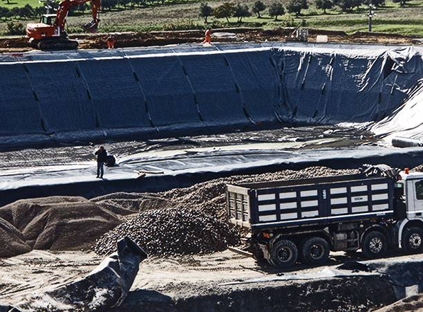
Mechanical properties of the soil.
It will pick up samples of the soil that will be affected the excavation.
The mechanical features are essential for:
- Define the geometry of the place.
- Evaluate the adjustments provided for under the hydraulic load.
- Evaluate the slope of the banks and the volumes of construction
Survey the area.
A small survey of the area, from a geomorphological point of view, directed to explore the risk of cracking and the existence of possible landslides in unstable areas, is sufficient to establish whether or not it requires thorough geotechnical study.
Investigation about water regime.
For this data importance, will be elaborated a study on the contribution of demand for water, which must be considered:
Contribution to the scheme, which normally get on the basis of hydrogeological studies in the area, or to estimate the natural streams feeding.

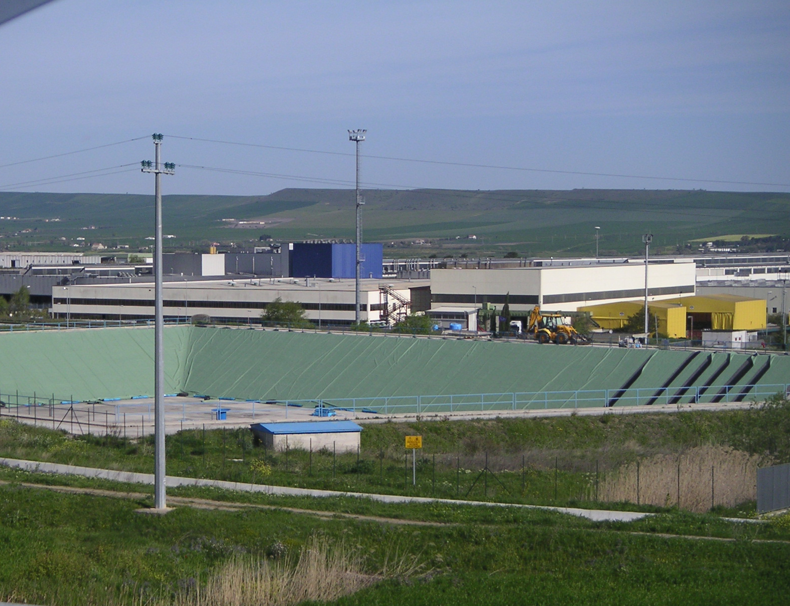
Location choice
The birthplace of a dock is determined by the items listed below:
- Accessibility
- Close proximity to the area of use
- Cost of land
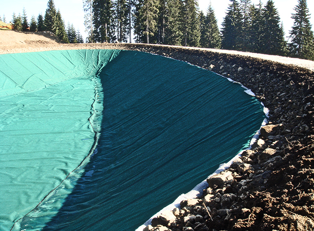
- Quality of land: for this element it requires a more detailed study, in fact, the quality is the one that leads to a correct and cost-shrink. A geological study can determine this and other essential technical data, including the presence of rocky material that hinders the movement of the earth, possible groundwater seepage that require treatment drainage, etc…
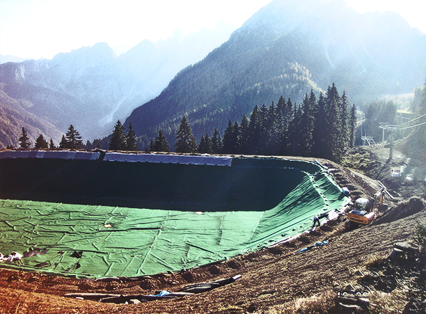
Weather data including:
- Orientation dock.
- Direction of the prevailing winds (wave effect).
- Exposure, the leading cause of evaporation.
- The rainfall regime.
- Temperatures and altitudes.
- Seismic risks.

data:
- for non-agricultural purposes: population, farms, etc …
- for agricultural purposes: surface water, existing and future crops, seasonality, demand of crops for each month, water use efficiency of irrigation, additional requests (for example salinity problems).
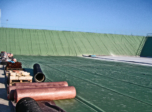
Evaporation at the surface of the docks.
Once processed the various items we will determine:
- The location of the basin.
- The flow rate.
- Geometry.
- The length of the ducts required.
Contact us
Don’t hesitate to contact us for any information about